Description
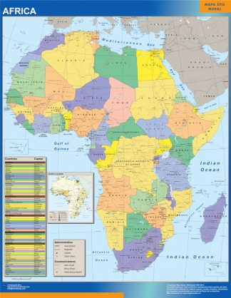
africa political magnetic map. Magnetic Wall Maps from Netmaps are useful planning and tracking tools. Use magnetic markers and symbols to track customers, delivery points, service centers and much more.
Our magnetic maps are also laminated write on / wipe off and framed. We also sell colored magnets that you can have color coded to match your map needs.
All our Wall Maps are available as Magnetic Wall Maps. Worldwide delivery.


