Botswana Maps
Botswana vector maps
Our files are illustrator eps, fully editable. There are also some options of wall maps. Our Botswana vector maps in EPS format are ideal for various applications, from educational to commercial purposes. These high-quality maps are available in both outline and detailed versions, providing you with a range of options to choose from.
The Botswana vector maps include the country’s capital, Gaborone, as well as all the major cities, towns, and settlements, making it easy to pinpoint specific locations. Additionally, the maps display the country’s boundaries and limits, including neighboring countries and bodies of water.
Whether you’re looking to plan a trip to Botswana, create educational materials, or need a map for your business, our vector maps provide the accuracy and detail necessary for your project. With the ability to customize the maps to your specific needs, you can be sure that you’re getting exactly what you need.
Showing all 12 resultsSorted by popularity
-

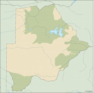
botswana illustrator map
29.00 € Add to cart -

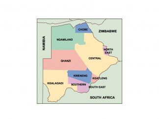
botswana presentation map
25.00 € Add to cart -

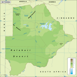
Botswana physical map
50.00 € Add to cart -

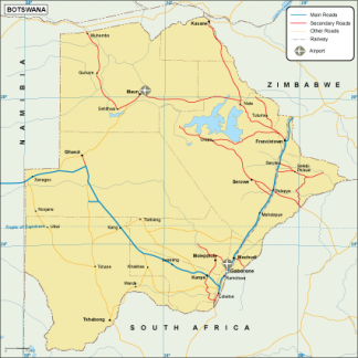
Botswana transportation map
55.00 € Add to cart -

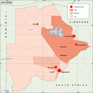
Botswana population map
60.00 € Add to cart -

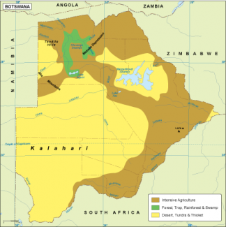
Botswana vegetation map
70.00 € Add to cart -

Botswana EPS map
80.00 € Add to cart -

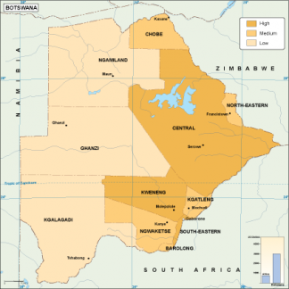
Botswana economic map
75.00 € Add to cart -

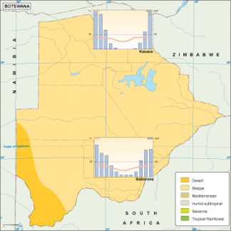
Botswana climate map
65.00 € Add to cart -

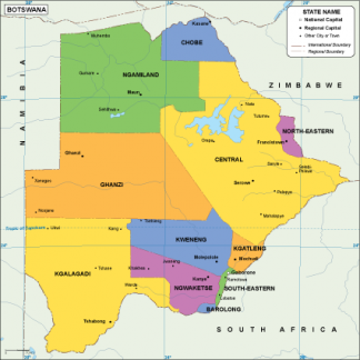
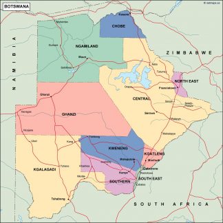
botswana political map
99.00 € Add to cart -

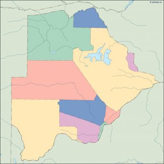
botswana blind map
35.00 € Add to cart -

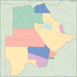
botswana vector map
39.00 € Add to cart
Showing all 12 resultsSorted by popularity
