Description
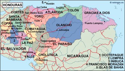
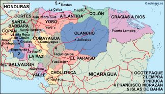
honduras political map. Digital Maps Online. Adobe Illustrator .AI EPS Vector files from our Netmaps database. Vector maps from Central America and Caribe Illustrator EPS files, fully editable from our American Country map database. All our digital cartography was created with Vector Adobe Illustrator
