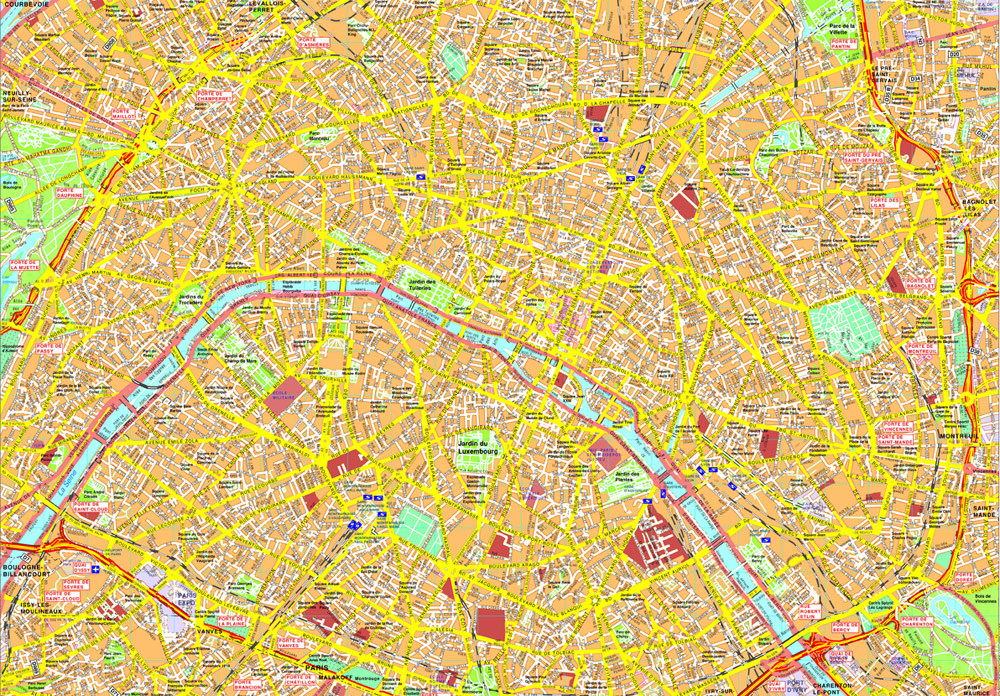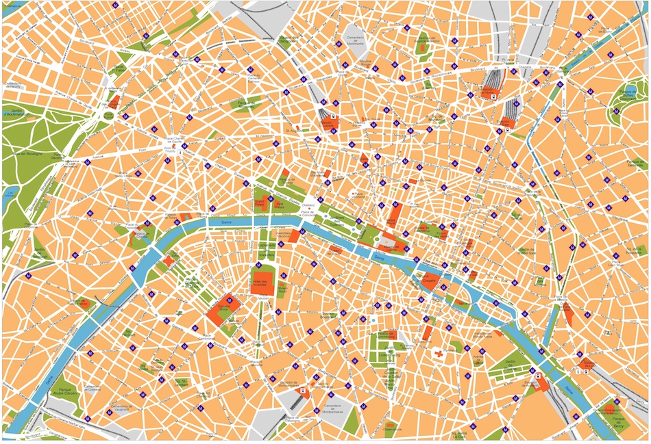
Paris map. Digital Maps Online. Adobe Illustrator .AI EPS Vector files from our Netmaps database.

Paris map. Digital Maps Online. Adobe Illustrator .AI EPS Vector files from our Netmaps database.
More than 20.000 Netmaps clients are located in 119 countries (1997-2019). They include some of the most prestigious companies all over the world. Some of our latest references:
– Nespresso We have created maps for their world magazines
– Gucci We have created maps for their promotionals products for their stores
– National Geographic (NG) We have created maps for the 16 volumes of the World Atlas
– Roche Internationals City maps with the location of Roche centres in more than 60 countries
– France Telecom – Yellow Pages More than 160 Spanish cities for the local directories
– Portugal Telecom – Yellow Pages More than 60 Portuguese cities for the local directories
– Hewlett Packard – HP Digital city bases for the demos of large printer formats
– Dorling Kindersley (DK) International City maps for a large number of Travel Books and Atlases
– Tui – Tour Operator Specific city maps for the touristic pamphlets with the location of associated hotels
– Mandarin Luxury Hotels Maps for the new opening of international Hotels of this luxury 5 * chain
– Colliers – Real Estate Look and feel maps of cities for commercial streets for presentations worldwide.
– Hundreds of Tour Operators, Hotels, Publishers, Agencies, Real Estate, Communication, Internet or Transnational companies trust in our customised digital city maps for their brochures, presentations, websites and leaflets. Be the next one!

Paris. Our maps are editable EPS maps. City center maps from our map collection that meets the highest quality requirements of graphics professionals, and the flexibility to easily modify the appearance of the map to meet a wide variety of design specifications for any project – print, web, multi-media, and broadcast.
You can modify our vector EPS city maps via Adobe Illustrator
– All Features are in Layers that you can turn on or off. Map features are saved in layers. Every layer can be manipulated independently.
– All Areas are complete objects you can select and modify. Every geographic area is a separate object you can select and edit. This makes it easy to highlight specific areas with color or fill patterns.
– All Lines are fully editable. Every line on a map (eg road, boundary, river) can be edited. You can change color, line width, line style.
– All Text is fully editable font text. Text is font-based, so it’s easy to change the font size and style. You can use your own choice of fonts. You can also add text with your own messaging.
– Our City maps Series are part of the Vector database from our company of cartographers ©Netmaps