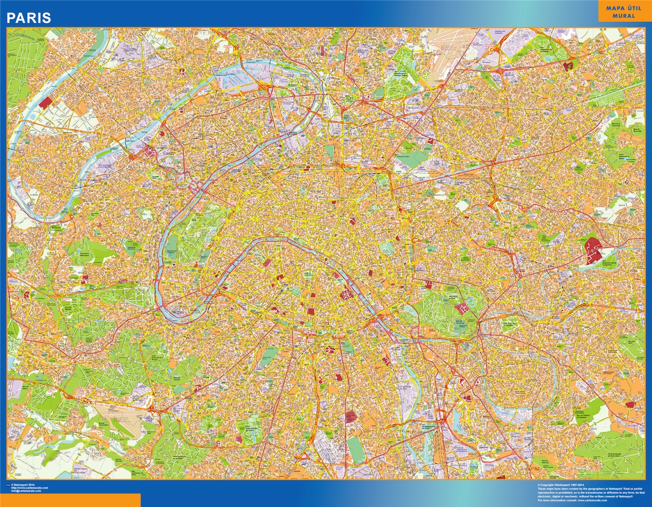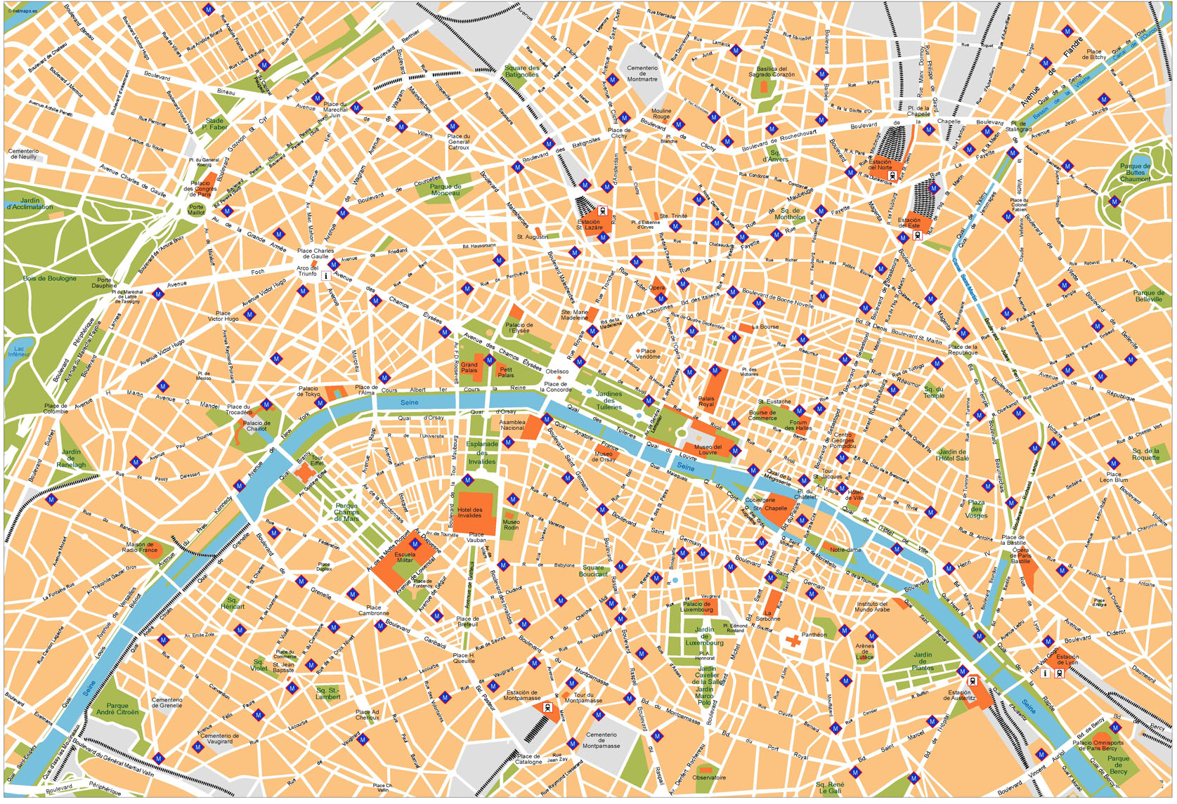
Paris Vector Map

Paris Vector Map

Paris Vector Map. Our maps are editable vector maps. Our serie of city center maps is created as a map collection that meets the highest quality requirements of graphics professionals, and the flexibility to easily modify the appearance of the map to meet a wide variety of design specifications for any project – print, web, multi-media, and broadcast.

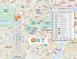
You can modify our vector EPS city maps via Adobe Illustrator

– All Features are in Layers that you can turn on or off. Map features are saved in layers. Every layer can be manipulated independently.

– All Areas are complete objects you can select and modify. Every geographic area is a separate object you can select and edit. This makes it easy to highlight specific areas with color or fill patterns.

– All Lines are fully editable. Every line on a map (eg road, boundary, river) can be edited. You can change color, line width, line style.

– All Text is fully editable font text. Text is font-based, so it’s easy to change the font size and style. You can use your own choice of fonts. You can also add text with your own messaging.

– Our City maps Series are part of the Vector database from our company of cartographers ©Netmaps

Vector Eps Maps

Maps Store: Vector EPS Maps

All countries of the world as vector EPS Illustrator files

Vector eps maps

All our maps has been created via Adobe Illustrator or Macromedia freehand. Maps are templates ready to be edited with your design software.

City Illustrator Maps

Digital Vector City maps for your projects

vector maps

Download our vector files for any of our city maps, from streetmaps detailed to area maps. More than 10 000 cities availables of the world

Powerpoint Maps for Presentations

You need to improve any presentation with maps. Take our editable maps for Powerpoint or Open Office

powerpoint maps

Maps for your company

Bespoke maps. Promotional Projects, Atlases. Any project where you need a map just let us know. From country maps to ZIP postal codes maps from any country of the world.

Maps Company


Eps vector maps

Find your map!. More than 20.000 digital files online

Directory of vector maps of the world: Political, physical, thematic, landuse, vegetation, climate, population and others digital eps maps:


Africa Maps

Algeria, Angola, Benin, Botswana, Burkina Faso, Burundi, Cameroon, Cape Verde, Central Africa Republic, Comoros, Congo, Congo Democratic Republic, Chad, Djibouti, Egypt, Equatorial Guinea, Eritrea, Ethiopia, Gabon, Gambia, Ghana, Guinea, Guinea Bissau, Ivory Coast, Kenya, Lesotho, Liberia, Lybia, Madagascar, Malawi, Mali, Mauritania, Mauritius, Morocco, Mozambique, Namibia, Niger, Nigeria, Rwanda, Sao Tome e Principe, Senegal, Seychelles, Sierra Leone, Somalia, South Africa Republic, South Sudan, Sudan, Swaziland, Tanzania, Togo, Tunisia, Uganda, Zambia, Zimbabwe


Asia Maps

Afghanistan, Armenia, Azerbaijan, Bahrain, Bangladesh, Bhutan, Brunei, Burma, Cambodja, China, Cyprus, East Timor, Georgia, India, Indonesia, Iran, Iraq, Israel, Japan, Jordan, Kazajstan, Kirgizistan, Kuwait, Laos, Lebanon, Malaysia, Maldives, Mongolia, Nepal, North Korea, Oman, Pakistan, Philippines, Qatar, Russia, Saudi Arabia, Singapore, South Korea, Sri Lanka, Syria, Taiwan, Tajikistan, Thailand, Turkey, Turkmenistan, United Arab Emirates, Uzbekistan, Vietnam, Yemen


America Maps

Antigua, Argentina, Bahamas, Barbados, Belize, Bolivia, Brazil, Canada, Chile, Colombia, Costa Rica, Cuba, Dominica, Dominicana, Republic, Ecuador, El Salvador, Grenada, Guatemala, Guyana, Haiti, Honduras, Jamaica, Mexico, Nicaragua, Panama, Paraguay, Peru, Puerto Rico, St. Christopher Nevis, St. Lucia, St. Vincent & Grenadines, Surinam, Trinidad y Tobago, Uruguay, USA, Venezuela


Europe Maps

Albania , Austria , Andorra , Belarus , Belgium , Bosnia-Herzegovina , Bulgaria . City of Vatican , Croatia , Czech Republic , Denmark , Estonia , Finland , France , Germany , Greece , Hungary , Iceland , Ireland , Italy , Latvia , Liechtenstein , Lithuania , Luxembourg , Macedonia , Malta , Moldova , Monaco , Montenegro , Norway , Netherlands , Poland , Portugal , Romania , Russia , San Marino , Serbia , Slovak Republic , Slovenia , Spain , Sweden , Switzerland , Turkey , Ukraine , United Kingdom


Oceania Maps

Australia, Federated States of Micronesia, Fidji, Kiribati, Marshall, Nauru, New Zealand, Palau, Papua New Guinea, Solomon, Samoa, Tonga, Tuvalu, Vanuatu


Wall Maps: Vinyl Maps, from 89,00 euros
Custom maps available. Worldwide delivery included
From World Maps to Country and City maps of the world
vinyl maps

Laminated Wall Maps, 79,50 euros. Maps are Write on / Wipe off. Velleda ©Bic. Worldwide delivery includedlaminated mapsMagnetic Framed Maps, 449,50 euros. Maps on a metallic board, ready for magnets. Worldwide delivery included magnetic maps