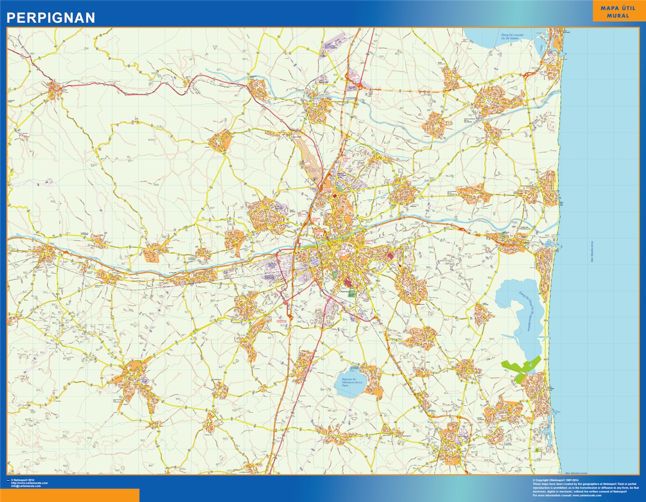
perpignan wall map

perpignan wall map
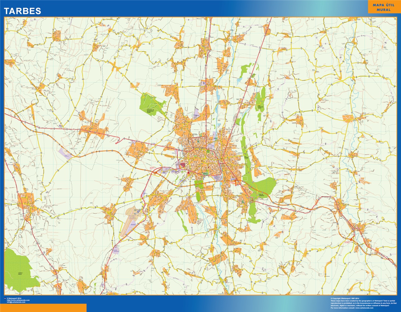
tarbes wall map
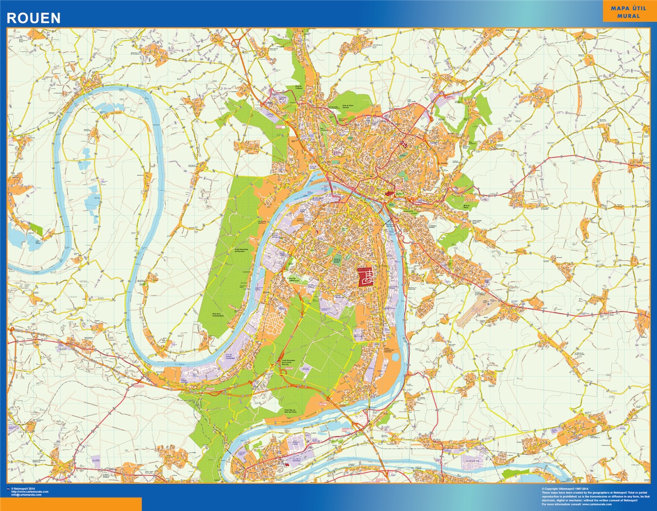
rouen wall map
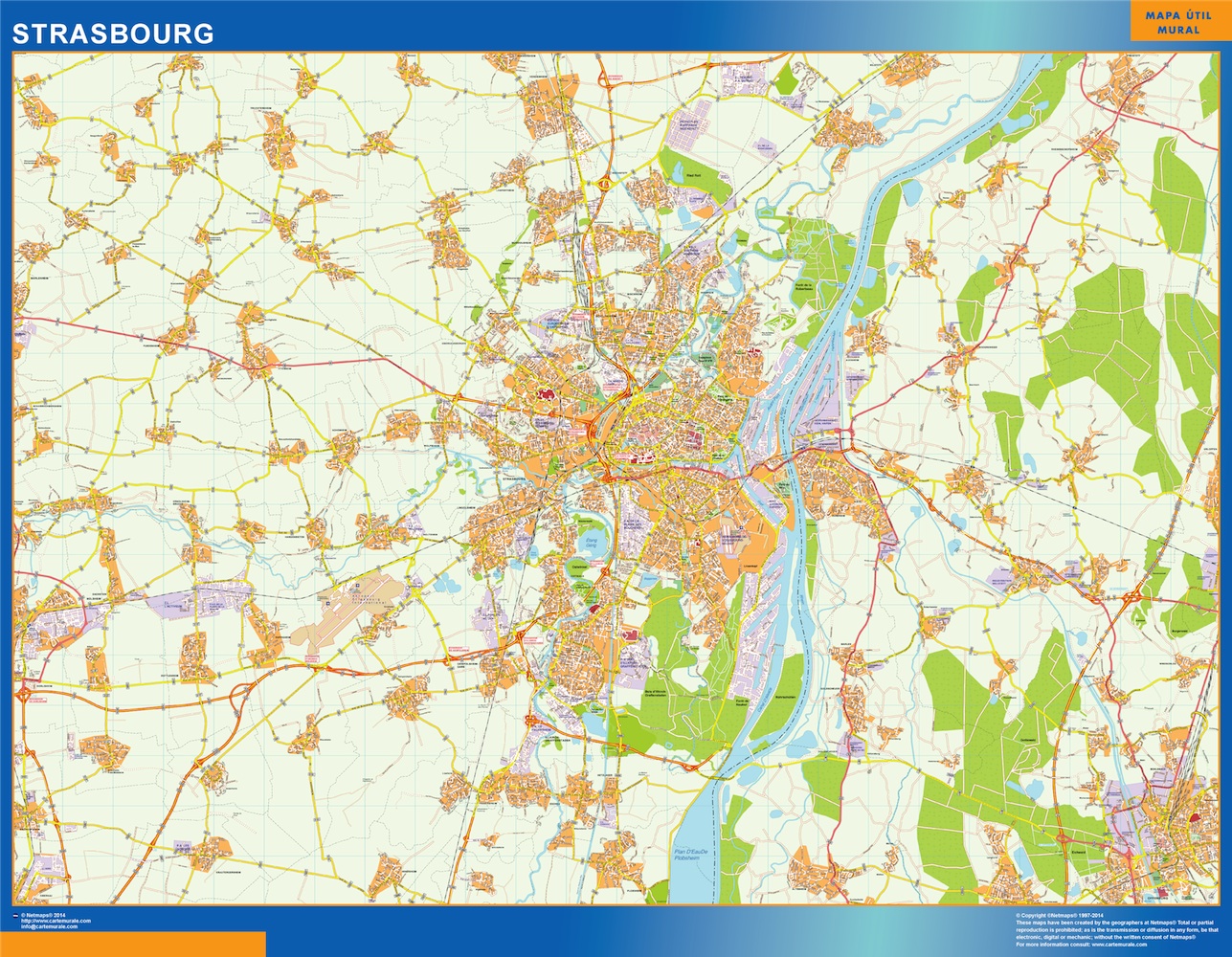
strasbourg wall map
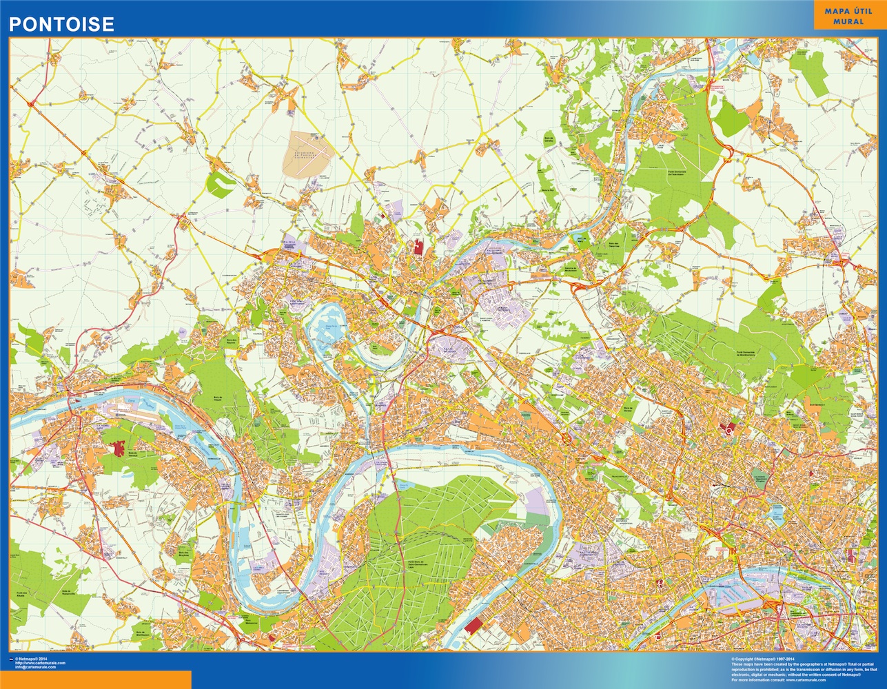
pontoise wall map
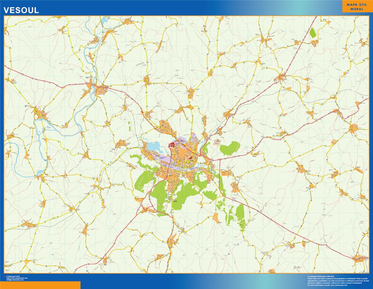
vesoul wall map
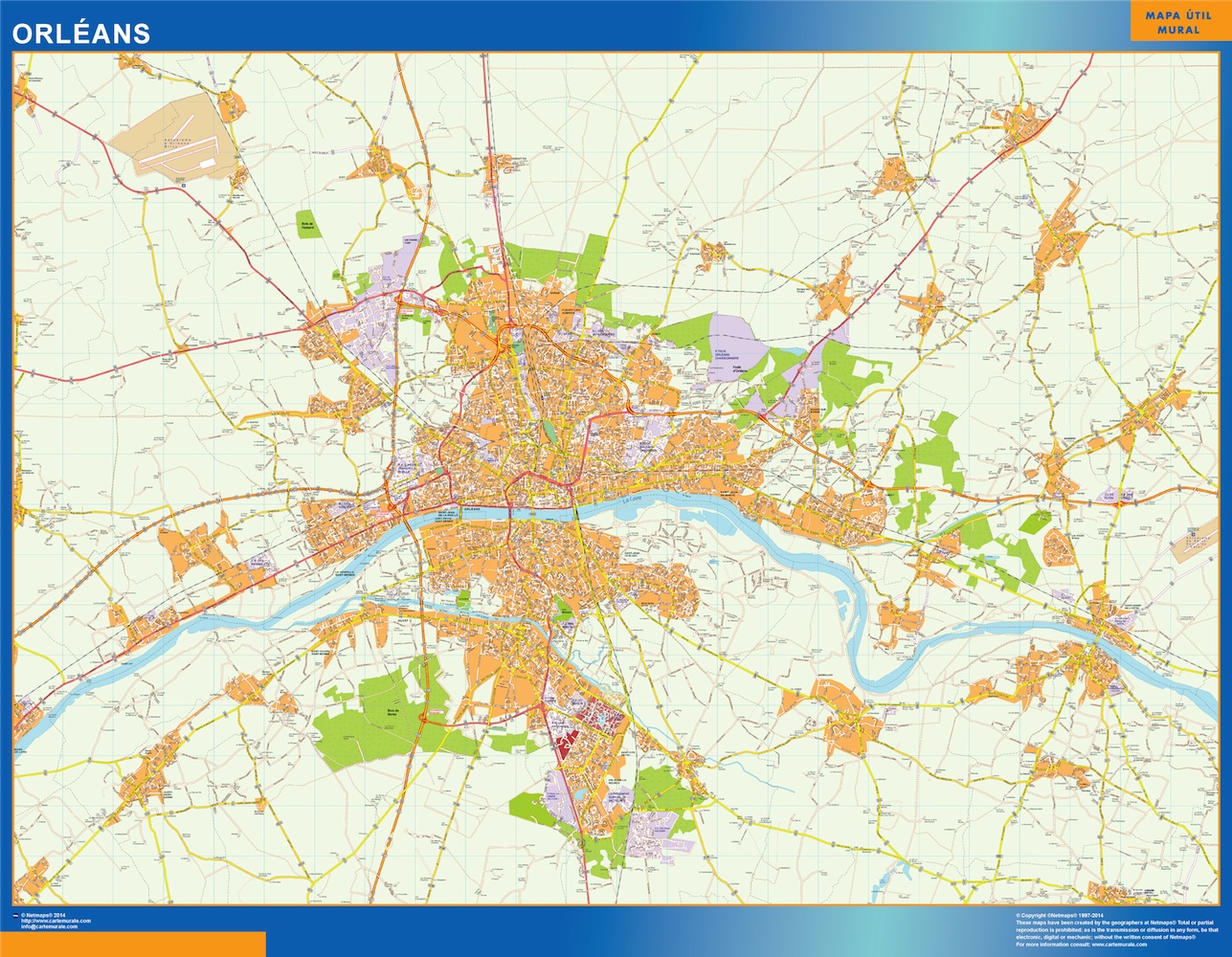
orleans wall map
Our City wall maps are always writable laminated (Velleda). They are sent in special tubes and world wide delivery is included for free in our price, 79,50 €
Top Cities:
More city wall maps by country
– United Kingdom City Wall Maps
*Ask for new cities
Country Wall Maps: Our wall maps are always writable laminated (Velleda). They are sent in special tubes and world wide delivery is included for free in our price, 79,50 €
World Vector EPS Illustrator City Maps
Actually we have all world with street map details. More than 30 000 city EPS vector maps. Check some of our prices and top sales city maps below. If you need any other city check in our search system or simply
Directory of vector city maps:
America Vector EPS City Maps
Asia Vector EPS City Maps
Europe Vector EPS City Maps
United Kingdom City Vector Maps
Oceania Vector EPS City Maps
More Vector EPS City Maps
Europe is one of the five continents. More than 3000 vector maps (illustrator eps files) of Europe, countries, thematics or cities, are online to be downloaded.
available in Adobe Illustrator, EPS, PDF, PNG and JPG formats to download. Our collection is designed to easily create your own map projects for personal or commercial use without any restriction, for graphic designers, journalists, students and people who need to create maps easily and quickly.
Bosnia-Herzegovina Maps
Bulgaria Maps
City of Vatican Maps
Croatia Maps
Czech Republic Maps
Denmark Maps
Estonia Maps
Finland Maps
France Maps
Germany Maps
Greece Maps
Hungary Maps
Iceland Maps
Ireland Maps
Italy Maps
Latvia Maps
Liechtenstein Maps
Lithuania Maps
Luxembourg Maps
Macedonia Maps
Malta Maps
Moldova Maps
Monaco Maps
Montenegro Maps
Norway Maps
Netherlands Maps
Poland Maps
Portugal Maps
Romania Maps
Russia Maps
San Marino Maps
Serbia Maps
Slovak Republic Maps
Slovenia Maps
Spain Maps
Sweden Maps
Switzerland Maps
Turkey Maps
Ukraine Maps
United Kingdom Maps
Vector maps from netmaps we take pride in offering a comprehensive collection of high-quality vector maps, meticulously crafted to meet your diverse needs. Whether you’re a designer, educator, business professional, or an enthusiast exploring the world through maps, we have the perfect solution for you
Our maps are digital data of maps that is consisted of X-Y coordinates. When our team draw lines and polygons with these coordinates, we can create maps. A vector map is basically a database of points, lines and polygons which collectively make up all the features on the map. It’s possible to assign each of these features extra information
Our vector maps are created mainly via digital software. To edit the maps, you will need a vector editing program such as Adobe Illustrator® or Macromedia Freehand®

agen carte illustrator. Digital Maps Online. Adobe Illustrator .AI EPS Vector files from our Netmaps database. Digital Maps Online. Adobe Illustrator .AI EPS Vector files from our Netmaps database. Agen carte illustrator. Cartes EPS Illustrator. Vector Maps of Cities of France
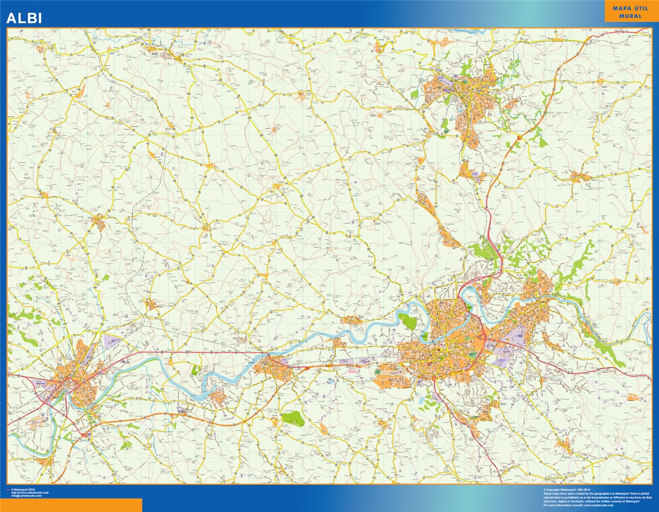
albi carte illustrator. Digital Maps Online. Adobe Illustrator .AI EPS Vector files from our Netmaps database. Digital Maps Online. Adobe Illustrator .AI EPS Vector files from our Netmaps database. Cartes EPS Illustrator. Vector Maps of Cities of France
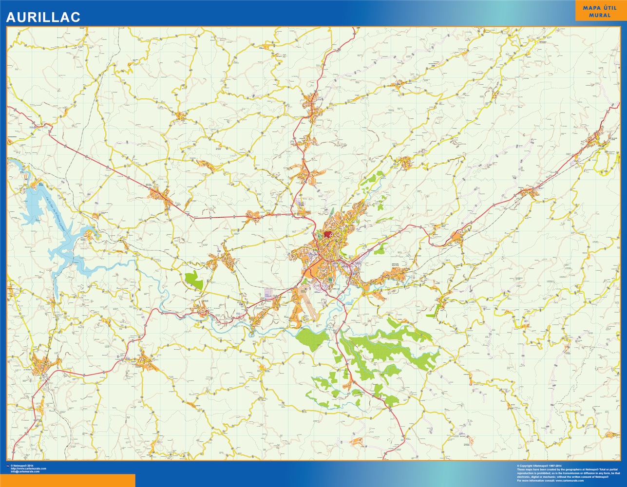
aurillac carte illustrator. Digital Maps Online. Adobe Illustrator .AI EPS Vector files from our Netmaps database. Digital Maps Online. Adobe Illustrator .AI EPS Vector files from our Netmaps database. Cartes EPS Illustrator. Vector Maps of Cities of France
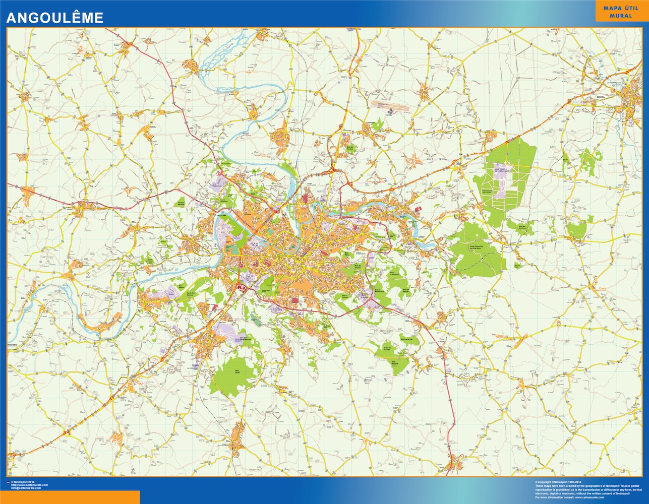
angouleme carte illustrator. Digital Maps Online. Adobe Illustrator .AI EPS Vector files from our Netmaps database. Digital Maps Online. Adobe Illustrator .AI EPS Vector files from our Netmaps database. Cartes EPS Illustrator. Vector Maps of Cities of France